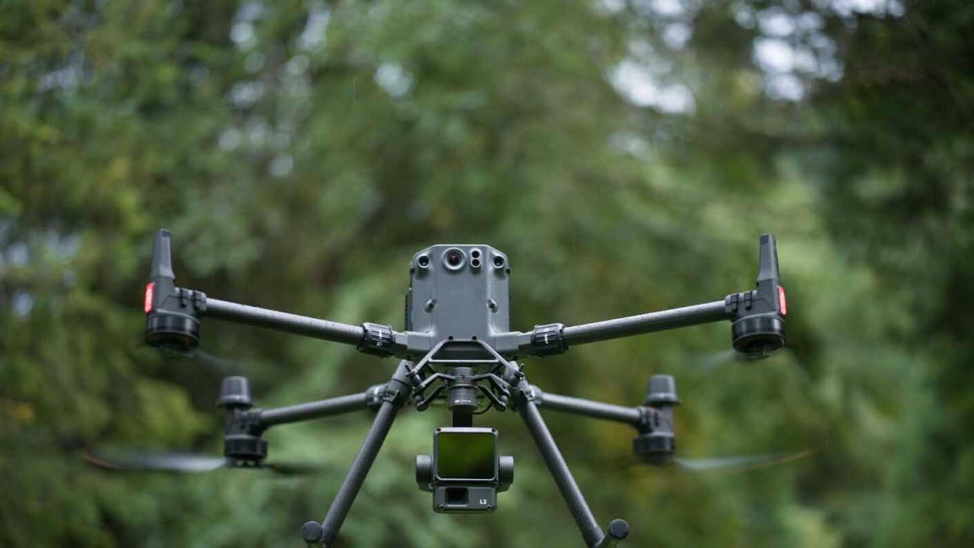

DJI has announced the Zenmuse L2, a new system advanced LiDAR platform designed for enterprise professionals using DJI’s Matrice 300 RTK or Matrice 350 RTK drones, offering improved 3D data collection capabilities and high-accuracy post-processing when paired with DJI Terra software.
DJI says the Zenmuse L2 aims to address user challenges for land surveyors, electricity inspectors, forestry professionals and many other industry professionals. For instance, in forestry, the system can penetrate the canopy to provide dynamic monitoring of plant growth. In electricity inspection, it enables specialists to measure the distance between vegetation and power lines, aiding in risk assessment and planning automated inspection missions based on the point cloud data.
- Read our DJI Air 3 review
To this end, the Zenmuse L2 system integrates a LiDAR module, an enhanced IMU system, a 4/3 CMOS RGB camera and a three-axis gimbal. DJI says the self-developed IMU (Inertial Measurement Unit) system has also been significantly refined and is ready for immediate use upon activation.
The system also boasts a 30% increase in detection range compared to its predecessor, the Zenmuse L1. The improved detection capabilities are particularly noteworthy for operational safety and efficiency, with the operational altitude now extending up to 120 meters.
Another highlight is the system’s point cloud emission rate, which can reach a maximum of 240,000 points per second. This allows the Zenmuse L2 to capture more point cloud data in a shorter time frame. The integrated RGB mapping camera features a 4/3 CMOS with a mechanical shutter and enlarged pixel size to 3.3 μm, resulting in improved imaging quality.
During operation, the Zenmuse L2 uses DJI Pilot 2 software, which offers various display modes for operational results. After completing route tasks, the software can automatically generate operation quality reports, offering insights into point cloud data quality and allowing for real-time monitoring of operational progress.
The system is compatible with DJI Terra software for efficient and reliable point cloud post-processing. This enables the generation of 3D point clouds in standard format, digital elevation models (DEM), and allows for subsequent analysis.
- Read our DJI Osmo Action 4 review
The DJI Zenmuse L2 will be available for purchase through DJI’s official website and DJI Enterprise dealers, although a price tag and release date have not been announced.
Before making a purchase, DJI advises potential buyers to check and comply with local laws and regulations concerning drone usage.